Overview
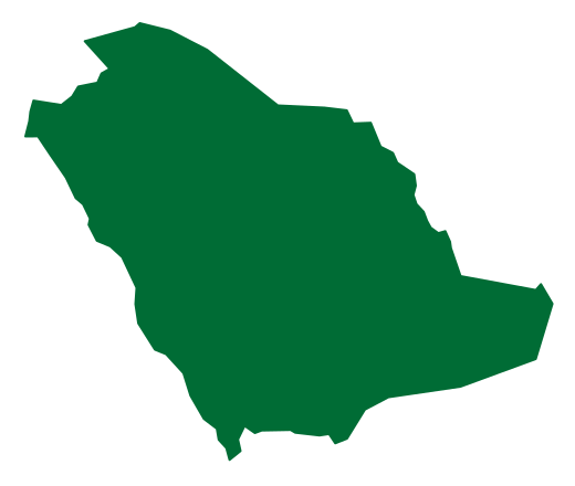
Wadi Al-Hamd is a valley in the Kingdom of Saudi Arabia and one of its most prominent geographical landmarks, as well as one of the largest valleys of the Arabian Peninsula.[1]
It runs from the northwest of the Madinah Region, passing through a number of natural sites, until it reaches the Red Sea between the governorates of Al-Wajh and Umluj, covering an estimated distance of about 400 kilometres.[1]
Wide in course and varied in terrain, the valley also carries a historical dimension: it served as a route for caravans and travellers across the ages.[1]
Route and Terrain
Wadi Al-Hamd runs from the northwest of the Madinah Region to its outlet on the Red Sea between the governorates of Al-Wajh and Umluj, a distance estimated at about 400 kilometres, passing a number of natural sites along the way.[1]
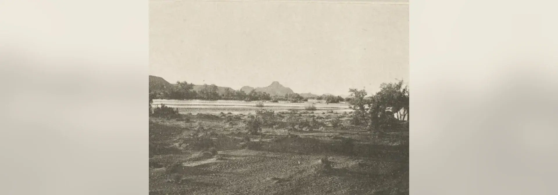
Its broad course takes in plains and mountains, with dense trees spreading along both banks and within the valley itself.[1]
Tributaries and the Seasonal Course
Four main tributaries feed Wadi Al-Hamd — Wadi Al-Aqiq, Wadi Al-Jazl, Wadi Khaybar and Wadi Al-Ays — giving it a seasonal continuity that reinforces its natural and environmental role.[1]
The valley is a seasonal watercourse whose importance grows during the rainy seasons; it helps feed the vegetation cover and the farms that stretch along its course, which has made it a destination for camel and sheep herders.[1]
Historical Dimension and Archaeological Sites
Wadi Al-Hamd has acquired a historical dimension: it formed a route for caravans and travellers across the ages and is linked to a number of archaeological sites whose traces still stand.[1]
The most prominent of these is the Al-Qusayr archaeological site, 45 kilometres south of the city of Al-Wajh, near the Red Sea coast at the outlet of Wadi Al-Hamd.[2]
The building uncovered there is a rectangular temple measuring 12.90 × 9.85 m, built of dressed marble, with its interior floor standing 120 cm above the outside ground level.[2]
Its layout resembles the Nabataean temples found in the Negev region and southern Jordan. The site was also found to be linked to the port of Asmara on the Red Sea coast, through a berth connected to it; Asmara is the ancient name of the site.[2]
Wadi Al-Aqiq
Wadi Al-Aqiq is one of the four tributaries of Wadi Al-Hamd and among the most famous geographical and historical landmarks of the Madinah Region; it was nicknamed the Blessed Valley for its connection to the Prophet's biography.[3]
The valley is undergoing rehabilitation and development works supervised by the Madinah Region Development Authority and the relevant bodies, extending over about 15 kilometres.[3]
It hosts 124 species of plants belonging to 33 main families and stretches more than 80 kilometres from the southwest to the northwest of the Madinah Region.[4]
Environmental Importance and Protection
Wadi Al-Hamd is today one of the Kingdom's natural sites of environmental importance, in line with the national drive to protect natural resources.[1]
Frequently Asked Questions
Q: Where is Wadi Al-Hamd located and where does it flow? A: It runs from the northwest of the Madinah Region to the Red Sea between the governorates of Al-Wajh and Umluj, a distance estimated at about 400 kilometres.[1]
Q: What are the main tributaries of Wadi Al-Hamd? A: Four tributaries feed it: Wadi Al-Aqiq, Wadi Al-Jazl, Wadi Khaybar and Wadi Al-Ays.[1]
Q: What is the historical value of Wadi Al-Hamd? A: It formed a route for caravans and travellers across the ages and is linked to archaeological sites whose traces still stand, most prominently Al-Qusayr at its outlet.[1][2]
Q: What are the most prominent features of the Al-Qusayr archaeological site? A: A rectangular temple measuring 12.90 × 9.85 m, built of dressed marble, with its interior floor standing 120 cm above the outside ground level; its layout resembles that of the Nabataean temples.[2]
Q: Why is Wadi Al-Hamd considered an important environmental site? A: It is a seasonal watercourse that feeds the vegetation cover and the farms along its course, and it is one of the Kingdom's natural sites of environmental importance in line with the national drive to protect natural resources.[1]
Conclusion
Wadi Al-Hamd combines a span of nearly 400 kilometres from the Madinah Region to the Red Sea, varied terrain and vegetation cover, and a historical and archaeological dimension that make it one of the Kingdom's prominent landmarks.[1][2]
Related topics on the platform include the Hijaz Mountains, the Umluj Islands and the Tabuk Region.[1]
Related topics
- HistoricWadi Al-AqiqWadi Al-Aqiq is one of the best-known valleys of Madinah, lying in its south-western part, and is called the “Blessed Valley” for its connection to the purified Prophetic biography. It was a source of water and agricultural life, and today its banks carry walking paths, an environmental rehabilitation project and investment opportunities.
- HistoricVegetation Cover in Saudi ArabiaVegetation Cover in Saudi Arabia is the total of the native plant species and the varied ecological regions across the Kingdom, whose sites are developed, protected and monitored and whose degraded parts are rehabilitated through national programmes for afforestation, combating desertification and land rehabilitation.
- HistoricHijaz MountainsThe Hijaz Mountains are a mountain range in the Kingdom of Saudi Arabia that embraces a number of peaks and natural landmarks, and its range takes in Jabal an-Nur in Makkah. They are cut through by volcanic lava fields and granite peaks, and among their most prominent landmarks are Jabal Shada in the Al-Bahah region, Jabal al-Lawz in the Tabuk region and Jabal Fifa in the Jazan region.
- HistoricUmluj IslandsThe Umluj Islands are an archipelago of 104 islands scattered in the Red Sea off the coast of the Tabuk region in north-western Saudi Arabia, and Umluj is one of the most prominent tourist destinations in the Kingdom and in the wider region. Its islands combine marine reserves, large numbers of birds and soft white sand, and their organisation and development are being carried forward under the Red Sea destination and the Commission for the Development of Yanbu, Umluj, Al-Wajh and Duba.
- RegionTabuk RegionA northwestern Saudi region administered from Tabuk city, combining Red Sea and Gulf of Aqaba coasts with inland centres such as Tayma and a history of trade and pilgrimage routes.
- RegionMadinah RegionA western Saudi region combining Madinah, Yanbu, AlUla and other governorates, with Islamic landmarks, oases, archaeological sites and a Red Sea coastline.
Sources & references
- Saudi Press Agency (SPA) — Wadi Al-Hamd: location, terrain, tributaries and importance
- Ad-Darah Magazine — King Abdulaziz Foundation (Darah), the Al-Qusayr site and its outlet
- Saudi Press Agency (SPA) — Wadi Al-Aqiq and its rehabilitation
- Saudi Press Agency (SPA) — the plants of Wadi Al-Aqiq and its extent