Nature

Articles in this section, each with its sources.

8 topics availableSearch all sections
Image credits
Image attribution: Rub al Khali 002 — Nepenthes, via Wikimedia Commons, CC BY-SA 3.0. Source: https://commons.wikimedia.org/wiki/File%3ARub_al_Khali_002.JPG ; license: https://creativecommons.org/licenses/by-sa/3.0 . CMS derivative: converted to WebP at quality 85; proportionally resized within 2400 × 2400 without enlargement where needed. / نسخة CMS: تحويل إلى WebP بجودة 85 وتصغير تناسبي عند الحاجة ضمن 2400 × 2400 دون تكبير. · License: CC BY-SA 3.0 — https://creativecommons.org/licenses/by-sa/3.0
Deserts

Rub al Khali

The world's largest continuous sand sea, covering the Kingdom's south-east across the Eastern Province, Riyadh and Najran, named the 'Empty Quarter' for its lack of permanent settlement.

Read article
Image credits
Image attribution: Sands of al-Dahna, eastern Saudi Arabia (11) (50620810612) — Richard Mortel from Riyadh, Saudi Arabia, via Wikimedia Commons, CC BY 2.0. Source: https://commons.wikimedia.org/wiki/File%3ASands_of_al-Dahna%2C_eastern_Saudi_Arabia_(11)_(50620810612).jpg ; license: https://creativecommons.org/licenses/by/2.0 . CMS derivative: converted to WebP at quality 85; proportionally resized within 2400 × 2400 without enlargement where needed. / نسخة CMS: تحويل إلى WebP بجودة 85 وتصغير تناسبي عند الحاجة ضمن 2400 × 2400 دون تكبير. · License: CC BY 2.0 — https://creativecommons.org/licenses/by/2.0
Deserts

Dahna Desert

The Kingdom's third-largest desert, an arc of red sand about 1,200 km long linking the Great Nafud to the Rub al Khali across five regions.

Read article
Deserts

The Great Nafud Desert

The Great Nafud Desert is a vast sand sea in the north of the Kingdom of Saudi Arabia, covering about 65,000 km², or nearly 3.2% of the Kingdom's land area, with wide parts lying within the Imam Turki bin Abdullah Royal Reserve. It contains a diversity of dune forms and notable landmarks such as Jabal Al-Ulaym and Nafud Al-Ashyakh.

Read article
Image credits
Image attribution: Space Shuttle image of the northern part of the Harrat Rahat lava field — Source: Wikimedia Commons, file 'Harrat Rahat.jpg': https://commons.wikimedia.org/wiki/File:Harrat_Rahat.jpg — direct: https://upload.wikimedia.org/wikipedia/commons/9/92/Harrat_Rahat.jpg — Author: NASA Space Shuttle image (Johnson Space Center, http://eol.jsc.nasa.gov/) — Licence: Public domain. Modified: the original (2984x1972) was cropped to a centred 1920x672 horizontal band to fit the article cover; no text, logo or element added. / صورة فضائية لحقل حمم حرة رهط (الجزء الشمالي) من مكوك الفضاء — المصدر: ويكيميديا كومنز، الملف «Harrat Rahat.jpg»: https://commons.wikimedia.org/wiki/File:Harrat_Rahat.jpg — الرابط المباشر: https://upload.wikimedia.org/wikipedia/commons/9/92/Harrat_Rahat.jpg — المؤلف: NASA Space Shuttle image (Johnson Space Center، http://eol.jsc.nasa.gov/) — الرخصة: ملكية عامة (Public domain). التعديل: قُصّت الصورة الأصلية (2984×1972) إلى شريط أفقي 1920×672 من وسطها لتناسب غلاف المقالة، دون إضافة أي نص أو شعار أو عنصر. · License: Public domain (NASA Space Shuttle image)
من ملايين السنين حتى 654هـ

Harrat Rahat

Harrat Rahat is a vast volcanic field in the Kingdom of Saudi Arabia whose lava flows extend from the north of Makkah to Madinah, and it contains lavas formed over widely separated periods, running from millions of years ago to the last volcanic eruption in 654 AH. Its recent volcanic activity is concentrated in its northern part, along the southern and eastern edges of Madinah.

Read article
Image credits
Image attribution: NASA — Expedition 16 crew member, International Space Station. Public domain, via Wikimedia Commons. Cropped and resized to 1920×672 for use as an article cover. / NASA — طاقم البعثة 16 في محطة الفضاء الدولية (ISS Expedition 16)، صورة بالمِلك العام (Public domain) عبر ويكيميديا كومنز؛ عُدِّلت بالقصّ والتصغير إلى 1920×672 لتناسب غلاف المقالة. · License: Public domain (NASA)
نحو 25 مليون سنة – 2026م

Khaybar Lava Field

Khaybar Lava Field is a volcanic field in the Madinah Region of the Kingdom of Saudi Arabia and the largest harrat in the Kingdom by area, estimated at about 21,500 square kilometers. It contains Jabal Al-Qidr, listed among the world's top 100 geological sites, three rare volcanoes, and lava tubes among the longest in the Arab world.

Read article
Image credits
Image attribution: Al-Hamad Desert (Al-Hamad Plateau), northern Saudi Arabia — the lead image of the "هضبة الحماد" (Al-Hamad Plateau) article on Saudipedia (the Saudi national encyclopedia, Ministry of Media); author: Ministry of Media — Kingdom of Saudi Arabia (Saudipedia); license: All rights reserved to the Ministry of Media (2026); source: https://saudipedia.com/هضبة-الحماد — original file: https://saudipedia.com/var/site/storage/images/7/4/4/4/2374447-1-ara-SA/e28cf2115848-184416.jpg — modification: downscaled only (no upscaling, no cropping) and placed whole and sharp in the centre of a 1920×672 canvas with a cream background #f4efe5 carrying a blurred copy of the same photograph. / صحراء الحماد (هضبة الحماد) بشمال المملكة العربية السعودية — الصورة الرئيسة لمقالة «هضبة الحماد» على سعوديبيديا (الموسوعة الوطنية السعودية، وزارة الإعلام)؛ المؤلف: وزارة الإعلام — المملكة العربية السعودية (سعوديبيديا)؛ الرخصة: جميع الحقوق محفوظة لوزارة الإعلام (٢٠٢٦)؛ المصدر: https://saudipedia.com/هضبة-الحماد — رابط الأصل: https://saudipedia.com/var/site/storage/images/7/4/4/4/2374447-1-ara-SA/e28cf2115848-184416.jpg — التغيير: تصغير فقط (بلا تكبير وبلا قص) ووضع الصورة كاملة حادّة في وسط كانفس ١٩٢٠×٦٧٢ بخلفية كريميّة #f4efe5 تحمل نسخة مموّهة من الصورة نفسها. · License: جميع الحقوق محفوظة — وزارة الإعلام، المملكة العربية السعودية (سعوديبيديا)
2023–2026

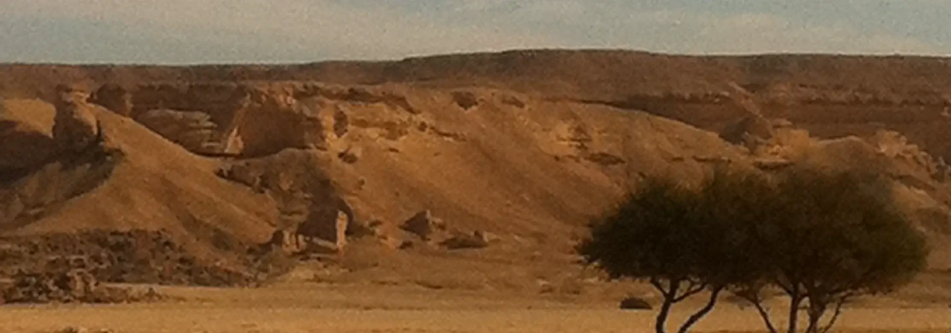
Al-Hamad Desert

Al-Hamad Desert is a desert area in the Northern Borders Region of the Kingdom of Saudi Arabia, close to the city of Arar and Al-Uwayqilah Governorate. It is one of the most prominent stations crossed by migratory falcons during the al-Maqnas season, which begins in October each year.

Read article
Image credits
Image attribution: Al-Balushi, CC BY 3.0, via Wikimedia Commons (Panoramio) / البلوشي، رخصة CC BY 3.0، عبر ويكيميديا كومنز (بانوراميو) · License: CC BY 3.0
1418–1447هـ / 1998–2026م

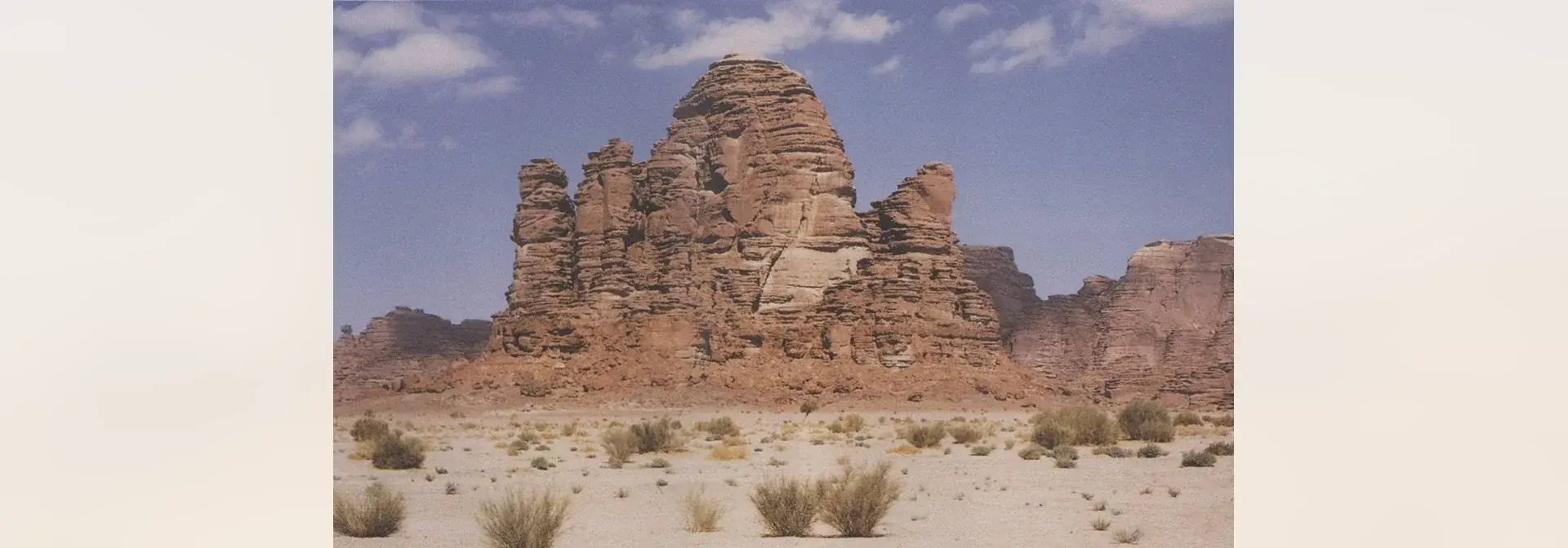
Al-Summan Plateau

Al-Summan Plateau is a rocky plateau, part of which lies within the geographical scope of King Abdulaziz Royal Reserve. Entry to it and recreation within it are organised by a prior permit from the reserve's development authority. The name Al-Summan is borne by a number of sites and facilities, including the Al-Summan Crushers Complex in the Eastern Region and the Wadi Al-Summan power station.

Read article
Image credits
Image attribution: Saudipedia (official Saudi encyclopedia) — article «حرة كشب» (https://saudipedia.com/حرة-كشب), image: https://saudipedia.com/var/site/storage/images/6/4/5/6/4666546-1-ara-SA/aa641e1b08f4-67629.jpg — official image caption: «حرة كشب من أقدم البراكين في شبه الجزيرة العربية. (سعوديبيديا)». All rights reserved to Saudipedia (Ministry of Media); no open licence is stated on the page. The photograph is placed whole, without cropping, in a 1920×672 cover on a blurred cream backdrop derived from the photo itself. / سعوديبيديا (الموسوعة السعودية الرسمية) — مقالة «حرة كشب» (https://saudipedia.com/حرة-كشب)، الصورة: https://saudipedia.com/var/site/storage/images/6/4/5/6/4666546-1-ara-SA/aa641e1b08f4-67629.jpg — التسمية الرسمية للصورة: «حرة كشب من أقدم البراكين في شبه الجزيرة العربية. (سعوديبيديا)». جميع الحقوق محفوظة لسعوديبيديا (وزارة الإعلام)؛ لم تُذكر رخصة مفتوحة في الصفحة. أُدرِجت الصورة كاملةً بلا قصٍّ في غلاف 1920×672 على خلفية مموّهة كريميّة مشتقّة من الصورة ذاتها. · License: جميع الحقوق محفوظة — سعوديبيديا (وزارة الإعلام) (All rights reserved — Saudipedia, Ministry of Media)
Deserts

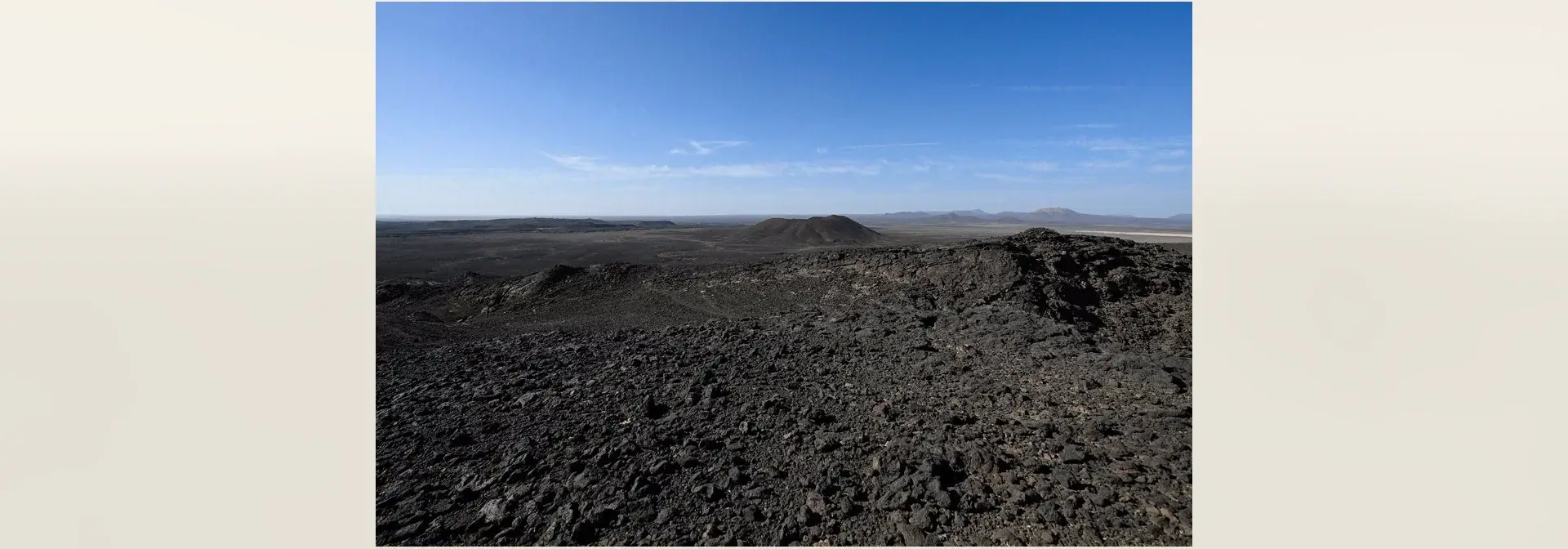
Harrat Kishb

Harrat Kishb is a volcanic lava field within Taif Governorate that contains Al-Wa'bah Crater, also known as Maqla' Tumaiy and Tumaiy Lake. It forms part of a monogenetic volcanic field of 175 small volcanoes, and Al-Wa'bah Crater is the deepest volcanic crater in the Kingdom of Saudi Arabia.

Read article