Overview
Wadi Najran is the best known of the valleys of the fertile plain in the centre of Najran Region, and together with the valleys around it it carries the historical and human weight of the region.[1]
The valley runs within Najran Region in the southwest of the Kingdom of Saudi Arabia, whose environments are divided between a fertile plain in the centre, mountains in the west and north, and sand in the east.[1]
The valley is linked to the archaeological site of Al-Akhdood, on whose southern bank the ancient city of Najran stood.[2]
Geographical location
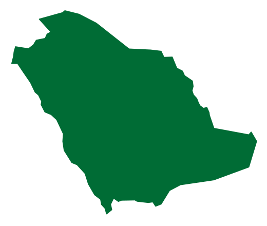
Najran Region lies in the southwest of the Kingdom of Saudi Arabia between latitudes 17 and 20 degrees north and longitudes 44 and 52 degrees east, and its elevation ranges between 1100 and 1700 metres above sea level.[1]
The region is bordered to the east by the Rub al Khali, to the west by Asir Region, to the north by Riyadh Region, and to the south by the Republic of Yemen.[1]
The region comprises three geographical environments: a fertile plain environment in the centre of Najran that contains valleys, the best known of which is Wadi Najran; a mountainous environment in the west and north; and a sandy environment in the east that forms part of the Rub al Khali.[1]
Administrative division and population
Najran Region consists of seven governorates in addition to the emirate of the region, and contains 54 administrative centres, with an area of about 365,000 km².[1]
Two large governorates lie in the sandy part of its terrain: Sharurah Governorate, 330 km from the region's centre, and Al-Kharkhir Governorate, about 750 km from it.[1]
The population of Najran is more than 700,000.[2]
Origin of the name and the ancient city
It is most likely that the name Najran was given to the valley and the city together.[2] The site of Al-Akhdood as it is known today appears to be the place where the ancient city of Najran stood, recorded in the inscriptions of the Arabian Peninsula as "N J R N".[2]
The city began to emerge and rise at the beginning of the first millennium BC, and between 250 and 500 BC it became one of the most prominent ancient trading cities on the trade route.[2]
Alongside its strategic location, the fertility of its land and the abundance of its water increased the importance of Najran, and it became a major point of contact between the north and the south of the Arabian Peninsula during the first millennium BC until the emergence of Islam.[2]
Al-Akhdood on the bank of the valley
The archaeological site of Al-Akhdood lies on the southern bank of Wadi Najran between the villages of Al-Qabil and Al-Jurrah, and consists of a central city surrounded by a wall 235 metres long and 220 metres wide, whose building foundations were laid with carefully carved stones at heights ranging between 2 and 4 metres.[2]
The citadel represents the main period of settlement at Al-Akhdood, which probably began before 600 BC and continued until the end of the third century AD, a period that coincides with the flourishing of the civilisation of the south of the Arabian Peninsula.[2]
Hima wells and the rock art
The wells of Hima were among the most important stations on the caravan routes coming from the south of the Arabian Peninsula to its north and back, and they are among the most important rock art sites in the Kingdom.[2]
They contain more than thirteen sites with depictions of hunting and grazing scenes and human figures drawn larger than life size, alongside inscriptions in Thamudic and South Arabian Musnad script and in Kufic script, dating from 7000 BC to 1000 BC.[2]
Wadi Najran dam
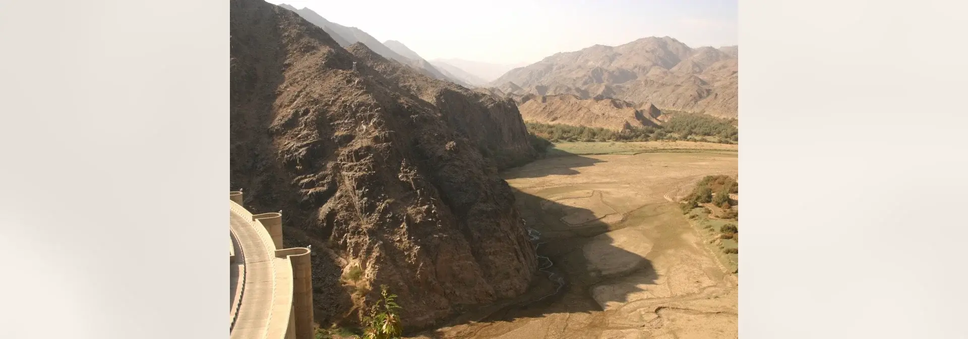
The Wadi Najran dam was opened in 1982, and the total cost of its construction reached 277 million riyals, with a length of 260 metres and a height of 60 metres.[3]
The body of the dam is cylindrical in shape and curved, with a radius of 140 metres and a width of 9.5 metres; its maximum height from the foundations to the crest is 73 metres, and the length of its crest is 247 metres.[3]
Al-Zahra Park
Tourism and nature
Agriculture and the horticulture research centre
The horticulture research centre in Najran stands on an area of 160 hectares and was founded in 1982, and it is concerned with testing and producing the finest citrus varieties suited to the semi-desert environment prevailing in most regions of the Kingdom.[3]
The centre ranks among the well-known centres in the Arab world in the field of citrus research and production.[3]
Najran Museum and the villages of Al-Qabil
The Agency for Antiquities and Museums at the Ministry of Education established the Najran Museum of Antiquities and Folk Heritage in 1403 AH, and it was opened in 1416 AH on the western side of the Al-Akhdood site.[2]
The museum contains archaeological pieces from across Najran Region, particularly from the Al-Akhdood site, together with a space dedicated to displaying the traditional products of the region, and its collections illustrate the history of the Kingdom of Saudi Arabia and the history and civilisation of Najran in its various stages.[2]
The villages of Al-Qabil lie north of the Al-Akhdood site and are distinguished by their traditional buildings, which represent the prevailing architectural style of the region; among their most important villages is Al-Lijam, which contains many distinctive mud houses.[3]
Frequently asked questions
Q: Where is Wadi Najran located? A: It lies in the fertile plain in the centre of Najran Region in the southwest of the Kingdom of Saudi Arabia, between mountains in the west and north and the sand of the Rub al Khali in the east.[1]
Q: With what is Wadi Najran historically linked? A: With the archaeological site of Al-Akhdood, on whose southern bank the ancient city of Najran stood, recorded in the inscriptions of the Arabian Peninsula as "N J R N".[2]
Q: What are the most prominent archaeological sites near the valley? A: The Al-Akhdood site on its southern bank, and the wells of Hima with their more than thirteen rock art sites.[2]
Q: What are the facilities and landmarks standing on the course of the valley? A: The Wadi Najran dam, opened in 1982, the horticulture research centre,[3] and Al-Zahra Park between the border guard centre and the Najran dam.[2]
Q: How many people live in Najran Region? A: More than 700,000.[2]
Related topics
- RegionNajran RegionA southern Saudi region administered from Najran, extending from settled wadis towards the Empty Quarter and containing Al Ukhdud, Hima and traditions of local architecture and crafts.
- RegionNajran CityNajran City is a Saudi city in the southwest of the Kingdom of Saudi Arabia, on the banks of Wadi Najran. It contains the Hima Cultural Area inscribed on the World Heritage List, the Al-Ukhdood archaeological site, and the Wadi Najran Dam, the largest dam in the Kingdom.
- EventAl-AkhdoodAl-Akhdood is an archaeological site in the Najran Region of south-western Saudi Arabia. It represents the ancient city of Najran and its commercial market on the caravan route, is associated with the story of the Companions of the Trench mentioned in the Holy Quran, and today stands as a living open-air museum welcoming visitors.
- HistoricHima Cultural AreaOne of the world's largest rock-art complexes, in Thar governorate north of Najran city, inscribed on the UNESCO World Heritage List in 2021.
- RegionAsir RegionA southwestern Saudi region administered from Abha, combining Sarawat highlands, Tihamah and the coast, with agricultural terraces, historic villages and distinctive local cultural traditions.
- RegionRiyadh RegionA central Saudi administrative region encompassing the national capital and varied Najdi governorates, with connections to Diriyah, oasis settlement, government and modern economic activity.