
Overview
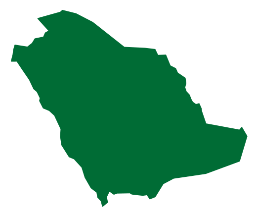
Wadi Sirhan is the longest and most famous wadi in the Al-Jawf region, with a length of 180 km. It occupies the northern part of the region, where the surface falls below 300 m above sea level.[2][1]
It is the largest wadi in the region, and other wadis lie alongside it, including Wadi Ash-Shuwayhitiyyah and Wadi Al-Murayr.[1]
Location and Geography
The surface of the Al-Jawf region ranges in elevation between 300 and 1,200 m above sea level and falls below 300 m in its northern part, which takes in part of Wadi Sirhan along with Wadi Yasir and Wadi Husaydah.[1]
The area around the wadi is marked by varied landforms of mountains, highlands and lava fields, including Ar-Rashrashiyyah, Al-Harrah and Al-Busaylah, the Tawqah and Nu'ayj mountains, and the Al-Hamad and Al-Hijrah plateaus.[2]
Wadis and Water Resources
Settlement of the Bedouin and Agriculture
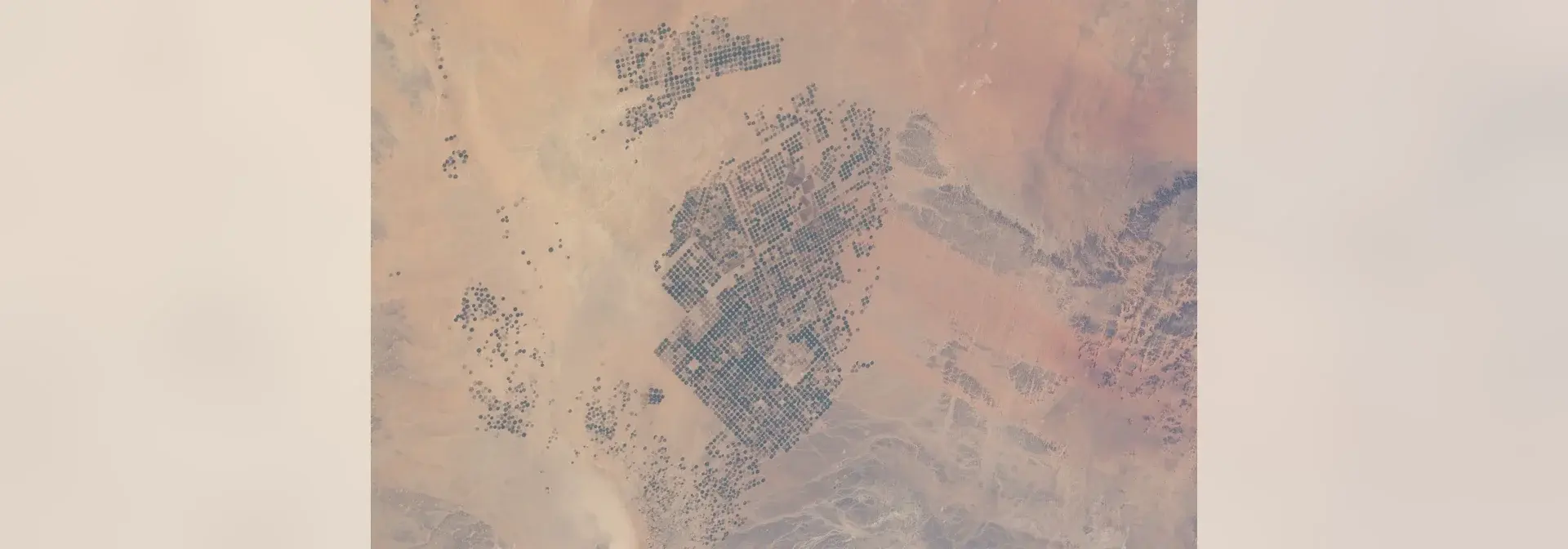
In 1380 AH the Ministry of Agriculture, working with the region's emirate, began the Wadi Sirhan project to settle the Bedouin and spread agriculture in the wadi.[3]
In 1389 AH the agricultural unit was developed into the General Directorate of Agriculture and Water in the North, and in 1400 AH it was converted into the General Administration of Agricultural Affairs in the Al-Jawf region.[3]
Agriculture and Production
After the Kingdom's system for distributing fallow land came into force, the first agricultural decisions were issued in 1392 AH, and arable land with available water began to be distributed to citizens in the region.[3]
The agricultural area in the Al-Jawf region exceeds 600,000 hectares, made up of more than 7,600 farms with a total area of 227,600 hectares and 3,200 agricultural projects covering about 320,000 hectares.[3]
The region produces about 600,000 tonnes of wheat, 25,000 tonnes of dates, 3,500 tonnes of olive oil and 3,000 tonnes of table olives.[3]
Olive Presses and Livestock
Agriculture Through History
Agriculture has been known in the Al-Jawf region since ancient times, and petrified olive trees have been found there. The cultivated area once did not exceed 25,000 dunams, concentrated in Sakaka and Dumat Al-Jandal.[3]
The region's early farming was irrigated from flowing springs, before agricultural projects expanded and spread across its areas.[3]
Frequently Asked Questions
Q: What is Wadi Sirhan? A: A wadi in the Al-Jawf region of northern Saudi Arabia, and the largest and longest of its wadis.
Q: How long is Wadi Sirhan? A: 180 km.
Q: Where is Wadi Sirhan located? A: In the northern part of the Al-Jawf region, where the surface falls below 300 m above sea level.
Q: What are the most notable projects associated with Wadi Sirhan? A: The Wadi Sirhan project to settle the Bedouin and spread agriculture, which began in 1380 AH.
Q: What is the Al-Jawf region known for agriculturally? A: Its wheat, olives, dates, fruit and vegetables, alongside its livestock.
Related topics
- RegionSakaka CitySakaka City is a Saudi city in Al-Jouf region, home to the archaeological landmarks of Za'bal Castle and Sisra Well, alongside service and development projects and seasonal festivals.
- GovernorateDumat Al-Jandal GovernorateA governorate in Al-Jawf west of Sakaka and one of northern Arabia's oldest towns, with Marid Castle, the Mosque of Umar ibn al-Khattab and Dumat Al-Jandal Lake.
- HistoricHarrat Al-Harrah ReserveHarrat Al-Harrah Reserve is a high-conservation natural area in northwestern Saudi Arabia, extending across the Northern Borders and Al-Jawf regions within the boundaries of the King Salman bin Abdulaziz Royal Reserve. It features a volcanic plateau and plant and wildlife diversity, and is the first reserve established by the Saudi Wildlife Authority.