
_(50620810612).jpg)
Extent
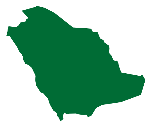
The Dahna, or Lesser Nafud, is the Kingdom's third-largest desert. Its sands run from the Northern Borders through Hail, Al-Qassim and Riyadh to the Eastern Province in an arc about 1,200 km long covering some 45,000 km². [1]
Its northern end joins the Great Nafud and its southern end the Rub al Khali; its red dunes rise about 120 m above the ground. [1]
Significance and reserves
Tourism and nature
Related topics
- RegionNorthern Borders RegionA northern Saudi region administered from Arar, including Rafha, Turaif and Al Uwayqilah, with histories of pilgrimage routes, pastoral activity, Tapline settlement and mining.
- RegionHail RegionA north-central Saudi region administered from Hail, associated with the Aja and Salma mountains, the Nafud desert, historical caravan routes and varied regional activities.
- RegionQassim RegionAn inland Najdi region administered from Buraydah, associated with trading towns, date cultivation and markets, and the geographical corridor of Wadi Al Rummah.
- RegionRiyadh RegionA central Saudi administrative region encompassing the national capital and varied Najdi governorates, with connections to Diriyah, oasis settlement, government and modern economic activity.
- RegionEastern ProvinceA large eastern Saudi region administered from Dammam, combining Gulf cities, the oases of Al Ahsa and Qatif, desert areas, energy industries and maritime commerce.