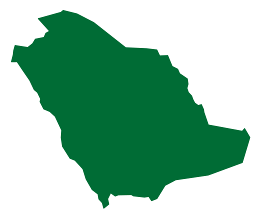

Arar and the regional centres
Arar is the administrative seat of the Northern Borders Region, which includes governorates such as Rafha, Turaif and Al Uwayqilah. The regional name describes its northern position rather than implying that every town has identical functions or surroundings. Its centres provide services, commerce and transport, while other parts of the territory are associated with mining and pastoral land use. [1][2]
An inland environment with contrasting seasons
The broad environment is dry and inland, with grazing areas, wildlife habitats and desert formations. Summer and winter conditions contrast noticeably, and some winter periods can be particularly cold. Daily conditions still depend on place and weather, so an individual temperature or weather event should not be generalised to every part of the region or an entire season. [1][2]
Routes, Tapline and settlement history
The region has connections with older pilgrimage and trading routes and contains historic places such as Linah and Zubalah. In modern times, the Tapline pipeline and its stations contributed to urban and social change. Considering both caravan routes and pipeline-related services reveals different phases of settlement and communication, rather than treating all northern towns as products of a single historical process. [1][2]
Phosphate and industrial development
Mining is a prominent regional activity, with Al Jalamid and Waad Al Shamal among its well-known locations. Industrial activity is connected with transport and services that support the movement of materials and products. This introduction does not give reserve estimates or international production rankings, which require dated reports; it explains mining's place within the region's economy and the development of its centres. [1][2]


.jpg)