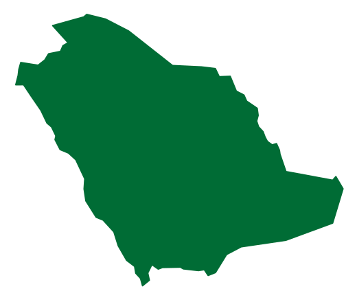

Buraydah and the towns of Qassim
Buraydah is Qassim's administrative seat, while Qassim names the wider region rather than a single city. Other well-known centres include Unayzah, Ar Rass, Al Bukayriyah and Al Mithnab. Together with surrounding villages, they form a Najdi settlement network with different sizes and functions. The region should therefore not be reduced to Buraydah alone or identified exclusively with one economic activity. [1][2]
The wadi and the inland environment
Qassim lies away from the coasts and is crossed by Wadi Al Rummah, a significant natural feature of central Arabia. Its broad climatic pattern includes hot summers, cold winters and limited rainfall, with local and seasonal variation. Water resources, agricultural land and routes help explain the distribution and relationships of towns, providing a more useful perspective than imagining an undifferentiated desert interior. [1][2]
Date palms and the date market
Date cultivation and trading have a prominent place in Qassim's identity and economic activities. Markets connect farms with sorting, packing and transport services, demonstrating the relationship between agriculture and commerce. This introduction does not assign production rankings or seasonal totals: such comparisons require a stated statistical year and scope. Date palms and their markets remain well-established features of the regional landscape. [1]
Trade, heritage and services
Qassim has historical connections with pilgrimage and trading routes, and its towns retain markets and buildings through which that history can be explored. King Abdulaziz's palace at Qibah in Al Asyah is one example. Alongside heritage and farming, the region contains educational and service facilities, including Qassim University and Prince Naif bin Abdulaziz Airport. These illustrate the connection between modern urban functions and older commercial and agricultural traditions. [1][2]


.jpg)