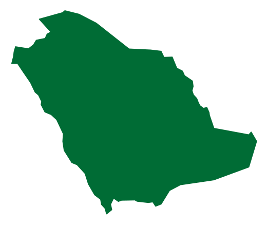
Administrative region
Image credits
Image attribution: Original programmatically generated illustration for Kingdom Encyclopedia (northern-borders), 2026-09-17. No third-party photographs, logos or source artwork used. WebP, 1200 × 720; display may crop to fit. / رسم توضيحي أصلي أُنشئ برمجيًا لموسوعة المملكة، دون استخدام صور أو شعارات أو رسوم من مصادر خارجية. ليس تصويرًا وثائقيًا. · License: Original project illustration — for use in Kingdom Encyclopedia / رسم أصلي للمشروع — للاستخدام في موسوعة المملكة
Stories of place
A northern Saudi region administered from Arar, including Rafha, Turaif and Al Uwayqilah, with histories of pilgrimage routes, pastoral activity, Tapline settlement and mining.
Read the story→ Administrative region
Image credits
Image attribution: Original programmatically generated illustration for Kingdom Encyclopedia (jazan), 2026-09-17. No third-party photographs, logos or source artwork used. WebP, 1200 × 720; display may crop to fit. / رسم توضيحي أصلي أُنشئ برمجيًا لموسوعة المملكة، دون استخدام صور أو شعارات أو رسوم من مصادر خارجية. ليس تصويرًا وثائقيًا. · License: Original project illustration — for use in Kingdom Encyclopedia / رسم أصلي للمشروع — للاستخدام في موسوعة المملكة
Stories of place
A southwestern Saudi region administered from Jazan city, combining the Red Sea coast, Farasan Islands, plains and mountains with farming, fishing, commerce and industry.
Read the story→ Administrative region
Image credits
Image attribution: Original programmatically generated illustration for Kingdom Encyclopedia (najran), 2026-09-17. No third-party photographs, logos or source artwork used. WebP, 1200 × 720; display may crop to fit. / رسم توضيحي أصلي أُنشئ برمجيًا لموسوعة المملكة، دون استخدام صور أو شعارات أو رسوم من مصادر خارجية. ليس تصويرًا وثائقيًا. · License: Original project illustration — for use in Kingdom Encyclopedia / رسم أصلي للمشروع — للاستخدام في موسوعة المملكة
Stories of place
A southern Saudi region administered from Najran, extending from settled wadis towards the Empty Quarter and containing Al Ukhdud, Hima and traditions of local architecture and crafts.
Read the story→ Administrative region
Image credits
Image attribution: Original programmatically generated illustration for Kingdom Encyclopedia (bahah), 2026-09-17. No third-party photographs, logos or source artwork used. WebP, 1200 × 720; display may crop to fit. / رسم توضيحي أصلي أُنشئ برمجيًا لموسوعة المملكة، دون استخدام صور أو شعارات أو رسوم من مصادر خارجية. ليس تصويرًا وثائقيًا. · License: Original project illustration — for use in Kingdom Encyclopedia / رسم أصلي للمشروع — للاستخدام في موسوعة المملكة
Stories of place
A southwestern Saudi region administered from Al Bahah, combining Sarawat uplands and Tihamah, with historic villages, agricultural terraces and vegetation in its mountain landscapes.
Read the story→ Administrative region
Image credits
Image attribution: Original programmatically generated illustration for Kingdom Encyclopedia (jawf), 2026-09-17. No third-party photographs, logos or source artwork used. WebP, 1200 × 720; display may crop to fit. / رسم توضيحي أصلي أُنشئ برمجيًا لموسوعة المملكة، دون استخدام صور أو شعارات أو رسوم من مصادر خارجية. ليس تصويرًا وثائقيًا. · License: Original project illustration — for use in Kingdom Encyclopedia / رسم أصلي للمشروع — للاستخدام في موسوعة المملكة
Stories of place
A northern Saudi region administered from Sakaka, encompassing Dumat Al Jandal, Al Qurayyat and Tabarjal, with farming, historical landmarks and solar and wind energy projects.
Read the story→